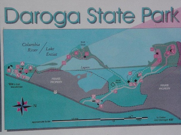
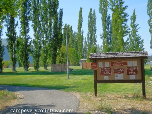
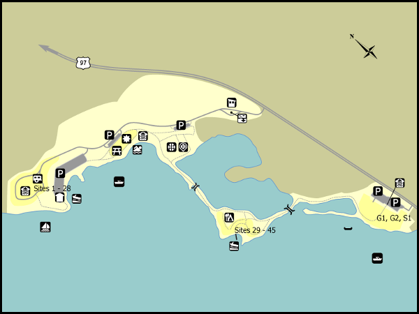
There are four distinct parts to this campground: The two group camps (on the far left; the tent camping area (on the island); the Day Use Area/Promenade (including the swimming beach); and the RV Loop (on the far right):
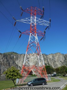
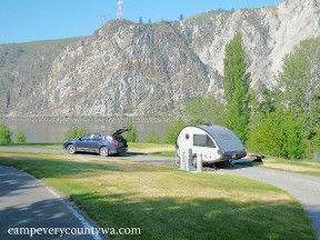
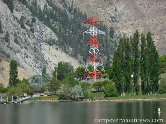
The RV Loop is the most touted, despite having powerlines running right through the center:
Despite this, the powerlines tower somehow feels like part of the
landscape, and campers affectionately refer to it as "Big Red." But
there is no denying that the campsites are the best anywhere.
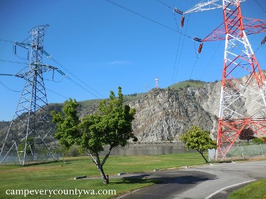
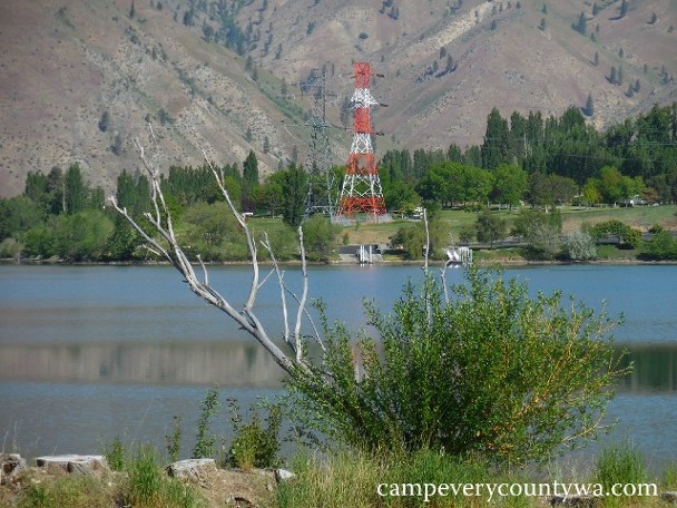
The RV Loop also has its own dock and waterfront area. These can be seen from across the swimming beach:
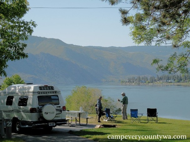
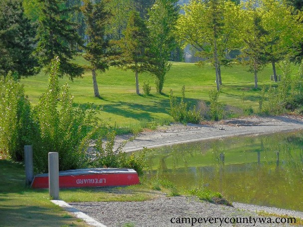
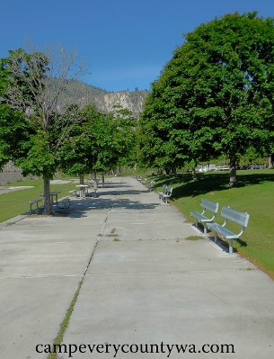
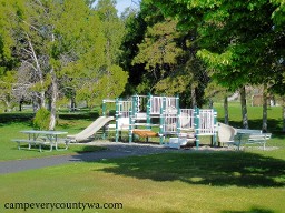
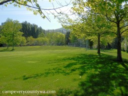
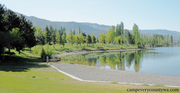
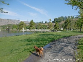
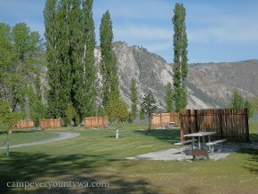
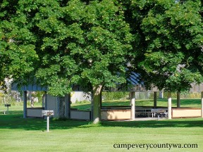
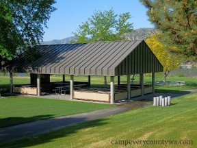
The Day Use Area consists of the swimming beach, the "Promenade," the playground, and the athletic fields.
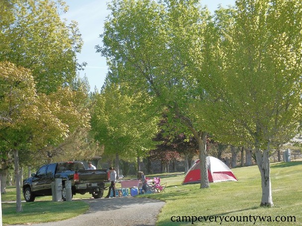
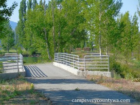
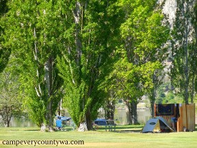
The Tent Camping Area is utterly unique, situated on an island connected to the Day Use Area and Group Camps by causeways and bridges:
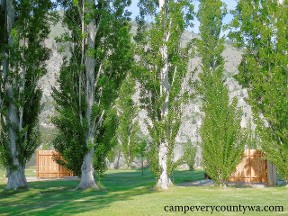
This island campground protects campers from the wind with carefully planted poplars and windbreak fences:
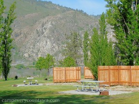
A second set of causeways and a bridge leads to the spacious Group Camps, which are also directly accessible from Hwy 97R:
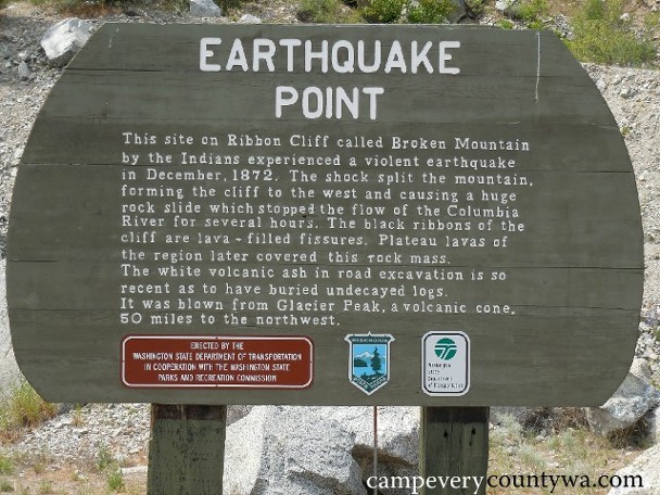
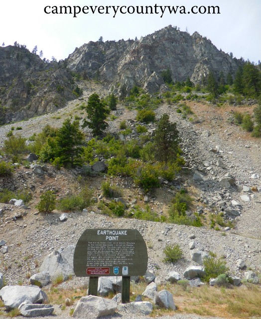
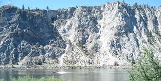
If you assume earthquakes only occur in WESTERN Washington, take note. This earthquake in 1872 split this mountain in half. This is observable from Daroga S.P.
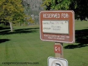
Below is an overview of the Daroga camping areas. Note that tent sites 29-45 are on a small island. The Group Sites (G1, G2) are south of the others, and directly accessible from Hwy 97.